Narrow, bumpy roads without signposts. Wild beasts lurking in the forest for inattentive travelers. And the pace proving that life was really slower in the past.
If you were to believe the maps, you would have to admit that the Poland of the first Piasts was a real Mecca for traders and travelers. Something between contemporary Germany, with its network of autobahn that can reach even the smallest towns, and Croatia, with its modern highways, which cuts the travel time to the Adriatic three times faster.

Such smooth and straight crossings can be found in today's open-air museums. But the people of the early Middle Ages certainly did not deal with them. Photo from Gross Raden on Połabie
Archaeologists have marked the course of not several, but even several dozen merchant routes crossing the territory of Bolesław the Brave's state. You could go from Poznań to Germany via Międzyrzecz or also via Krosno Odrzańskie. There are also two ways from Kraków to Ruś:via Sandomierz or via Bochnia and Przemyśl. In Giecz alone, at least four different routes crossed. There are many examples. So what's the problem? Well, these lines of communication run ... mainly on the aforementioned maps.
Tracks, tracks, tracks
A typical trade route a thousand years ago was a narrow path, full of boughs sticking out of the ground, fallen trees, ruts and bumps. In places two or three meters wide, elsewhere it was completely lost among the bushes. No one has done the maintenance of the tracts yet. Of course, this was done in the outskirts of the main castles. Elsewhere, however, the travelers were on their own and with the blades strapped to their belt. Above all:for capricious weather.
In winter, the journey was difficult due to snowfall. In spring, the tracks disappeared among the mud and crossing rivers became difficult or even impossible. In the fall, the short days of rain and rain kept the carts stationary more often than they moved towards the distant target.
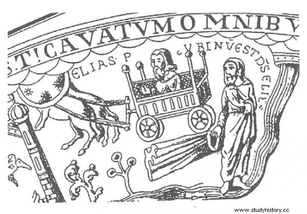
The image of a wagon on a 12th-century chalice from Trzemeszno
It was also extremely easy to get lost along the way. And even on these well-known travelers, leading straight to the heart of the country and to the Polish capital. In 1005, the German king Henry II found out about it. During the decisive campaign in the war between the Reich and Poland, bribed guides led his armies "through deserts and swamps, exposing them to great nuisance." Nobody even noticed that this is not the most appropriate way to get to Poznań or Gniezno ...
Highway pace… for the era
The roads were sometimes treacherous, let alone the adjacent thicket. After going off the beaten path, no one was safe. Even the rulers themselves. In the 11th century, the Hungarian king Andrzej found out about it. According to one of the surviving accounts, he strayed from the road for a moment, perhaps because of an urgent, physiological need. He quickly lost his way and as a result ... died of hunger and exhaustion on the borders of his own country.
Not only were the hikes life-threatening, they were also extremely slow. A Jewish trader from Andalusia, Ibrahim ibn Jakub, reported in the mid-10th century that the journey from Prague to Krakow took three weeks. It was the only really important and well-kept road in Poland. Caravans with furs and weapons, sent from the Czech Republic and Germany to Kiev, took place this way. This way, silver was moving in the opposite direction, and it was finally here that slave cavalcades were driven.
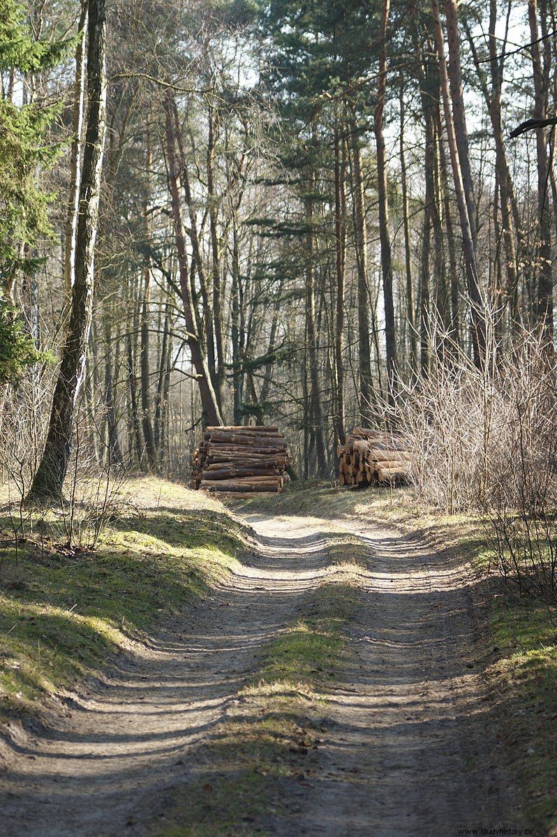
Forest track in contemporary photography. In the Middle Ages, routes were rarely that way out
Czech historians see one of the main sources of power of the Přemyslid state in the second half of the 10th century during the route connecting Prague and Kiev. Polish researchers add that this route allowed Bolesław the Brave to strengthen his position and fight for the throne after his father's death. Finally, there are also voices that King Henry II fought with Poles mainly for access to the aforementioned route. And yet, even a line of such enormous importance allowed travel at speeds…. only twenty kilometers a day!
Elsewhere, the pace was even slower - you can guess that the commercial caravans between Silesia and Poznań traveled no faster than 15 kilometers a day. As a result, the journey from Prague to the heart of Greater Poland could take even over a month. From Poznań to Merseburg, an important city in eastern Germany - at least three weeks.
The processions of rulers traveled not much faster. They traveled from twenty to thirty kilometers a day. Only a mounted emissary or a cavalry squad could move faster. Still, we are talking about a pace that rarely exceeds 50 kilometers. Per day. Not for an hour.
Sources:
The article is based on the literature and materials collected by the author during the work on the book "Iron Ladies. The Women Who Built Poland ” . Below are some of the items used:
- Kurnatowska Z., The beginnings of Poland , Poznań 2002.
- Moszyński K., Folk culture of the Slavs , vol. 1, Warsaw 1967.
- S. Moździoch, Everyday life of a medieval Pole in the light of archaeological discoveries, i.e. a desperate attempt to prove that we live better today [in:] Villages and parishes in the Middle Ages , Poznań-Ląd 2013.
- W. Rączkowski, J. Nowakowski, Between metaphor and reality. Path, path, path in the archaeological discourse [in:] Imperial Route Ilawa-Gniezno-Magdeburg, ed. W. Dzieduszycki, M. Przybył, Poznań 2002.
- Robak Z., Dear or wilderness? Some Aspects of Medieval Communication , "Alma Mater", No. 99 (2008).
- Robak Z., Communication devices and means of land transport in the Polish lands in the early Middle Ages (against the background of the neighboring lands) , MA thesis, Kraków 2006.
- Wrzesiński J., Means and communication devices of the Polish early Piast based on archaeological finds to date [in:] Imperial Route Ilawa-Gniezno-Magdeburg , ed. W. Dzieduszycki, M. Przybył, Poznań 2002.