New demographic models and analyzes confirm for the first time that the city of Angkor, in the current Kingdom of Cambodia, was in the 13 th century, at its height, one of the largest inhabited complexes in the world.

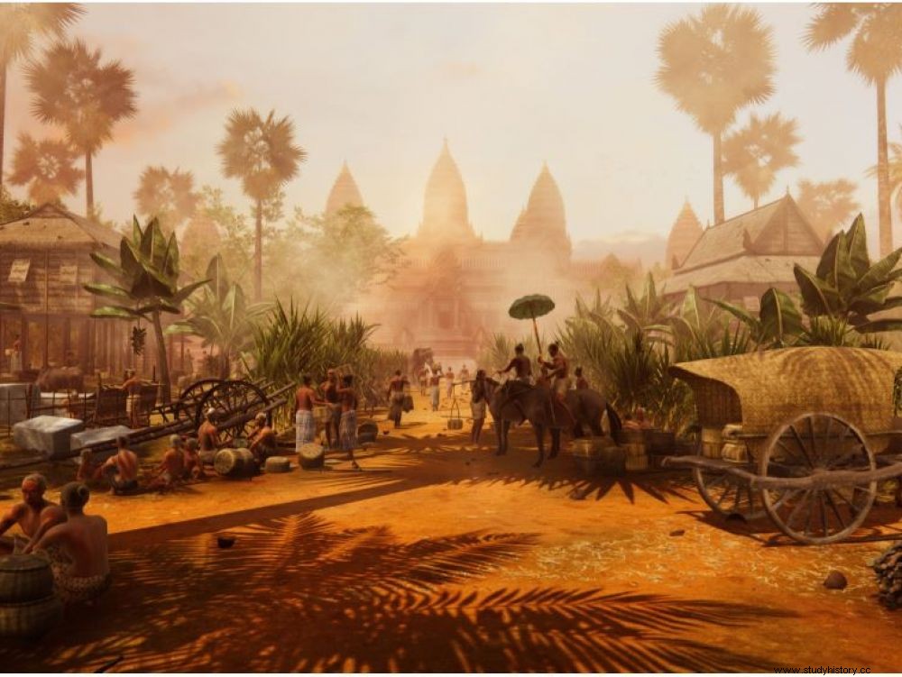
Daily life in the heart of the city of Angkor, in the 12th century.
It is enough to pronounce the word "Angkor", that of the famous ancient city of Cambodia, for the spectacle of impressive stone monuments to emerge, sculpted like lace in an environment of luxuriant forests, with its temples and its basins testifying to an exceptional civilization. But what do we really know about the settlement of this immense royal city in the heart of the Khmer Empire (9 e -15 e centuries)? An article published on May 7, 2021 in the journal Science Advances could shed some initial light thanks to an unprecedented demographic study.

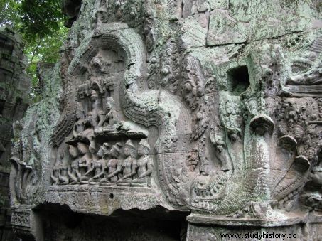
Hidden under the forest cover, one of the many stone temples of the medieval city of Angkor. ©Bernadette Arnaud
A very sprawling city hidden by vegetation cover
"The question of the population growth of Angkor has long been a source of speculation and the estimation of its population, a challenge ", explains Christophe Pottier, archaeologist of the French School of the Far East (EFEO), co-signatory of the publication. And this already well before the real extent of the extension of this medieval city over some 3000 km 2 . What is now called Greater Angkor (Angkor and its region), indeed extended beyond Angkor Thom, the walled and square city of 9km 2 which marks its famous centre. The vegetation cover hid this heart and its surroundings, until Lidar surveys -a system of aerial remote sensing by laser- carried out between 2012 and 2015 finally lifted the veil. The specialists then discovered a quantity of unsuspected urban developments, despite the century of work carried out in the region by archaeologists:embankments, reservoirs, canals, checkerboard structures, roadways... as well as subtle vestiges of dwellings which have disappeared because they are made of perishable materials. An unimaginable extent and density of occupation at the very heart of this Great Angkor, with its ceremonial and power center where most of the great sanctuaries are located, such as Angkor Wat or Bayon, which we know today that it stretches over 35 km 2 .
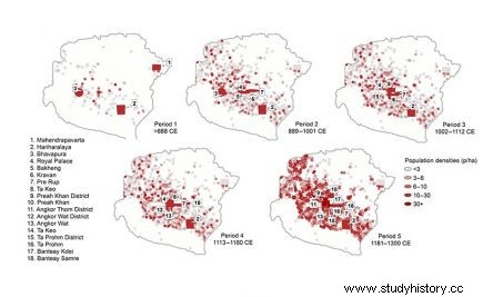
Sarah Klassen, archaeologist at the University of Leyden (Netherlands) and her colleagues have relied on the research of the last thirty years carried out in the Angkor region, to combine the results from Lidar surveys, archaeological excavations, radiocarbon dating and machine learning algorithms. The team thus managed to create five maps modeling the development of the city and the growth of its population over the centuries of its occupation, from the 9 th century to the end of the 14th century century, date of its collapse.

Tables of population densities per hectare within Greater Angkor over the centuries. ©Sarah Klassen
"At its height, in the 13 e century, the Greater Angkor region was home to between 700,000 and 900,000 people" , says Sarah Klassen. "Discriminating the evolution of settlement phenomena over time is extremely complex . This work and the models obtained give a fairly complete view of the human occupation densities of Greater Angkor at different periods, information that we did not have until now" , adds Christophe Pottier, joined by Sciences et Avenir. These new models revealed different growth rates according to the zones of occupation. Thus, the Greater Angkor region continued to expand until the 12 th century; the population of the ceremonial center of Angkor Thom did not begin to increase substantially until the 11 e century; and the maximum population density was reached there in the 13 e century.

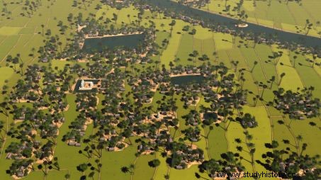
Digital reconstruction of a medieval habitat and its sanctuary south of Angkor. ©Tom Chandler, Michael Lim, Monash University.
According to the authors of the article, this technique of modeling the growth of urban centers could be applied to other complexes and tropical societies with dispersed agro-urban landscapes similar to the Angkorian zone, whether in Thailand, Ceylon or still in China, especially in Anyang, the capital of the last Shang. But it could also apply to Mesoamerica, to understand, for example, the development of Teotihuacan, in Mexico, or even that of the Mayan cities.
