The map of Vinland, allegedly dated from the 15th century and supposed to be a pre-Columbian representation of the North American coast, is a forgery as has just been recognized by Yale University, its owner.
The map of Vinland, allegedly dated from the 15th century and supposed to be a pre-Columbian representation of the North American coast, is a forgery that has just been recognized by Yale University (USA), its owner.
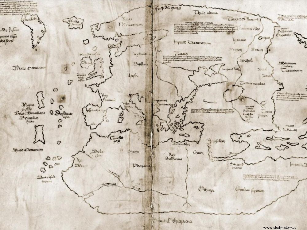
Fake map and real debates. For nearly half a century, scholars have argued over the authenticity of a medieval map – known as the Vinland map – purporting to reflect Viking voyages to America, long before those initiated by Christopher Columbus in 1492. Supposedly dated to 1440, this parchment acquired in 1965 by the famous University of Yale, in Connecticut (USA), claimed to present a part of the North American coastline as "Vinlanda Insula" and therefore a possible first representation of the New World. But an article from New York Times of September 30, 2021 returned to a press release from Yale University where Raymond Clemens, curator of ancient books at the Beinecke Rare Book &Manuscript Library, acknowledges that "the map of Vinland is a fake" , thus putting an end to these speculations.
The too precise representation of Greenland raised doubts
The American daily also retraces the journey of this parchment which, around 1957, "had been acquired by an antique dealer in New Haven (Connecticut) from an unknown source in Europe. Sold to the philanthropist and patron Paul Mellon (1907- 1999), he donated it to Yale in 1965 ". At the time of this acquisition, the map had been considered a medieval treasure and proof of the first Viking explorations in North America. But doubts had arisen from the outset within the community of cartographers about its authenticity. reason for the representation considered too precise of Greenland.
Proof by titanium
For years, contradictory studies were then published concerning it. Via its press release, Yale University states that it has carried out "new scientific analyses, which very clearly showed high levels of a titanium compound in the inks" . A product first used…in the 1920s! Results which have come to reinforce those already obtained - with less precision - in 1973 and 2004. It is in particular thanks to the use of an X-ray fluorescence spectrometer (XRF) that the use of this fraudulent ink could be demonstrated on the entire map. A great disappointment for fans of this card whose public success can be explained by its date of appearance on the market, very shortly after the discovery in Newfoundland of the archaeological site of Anse-aux-Meadows, irrefutable proof this time of a Viking presence in North America decades before the arrival of Columbus. A handsome player, the director of the Beinecke Library said "the card will remain in the collection of Yale University, and is now a historical object in its own right, and a fine example of forgery at the international impact "… A scientific publication in a cartography journal should be published soon. However, no explanation has been given about the possible authors of this forgery.